
Setting Your Boundaries
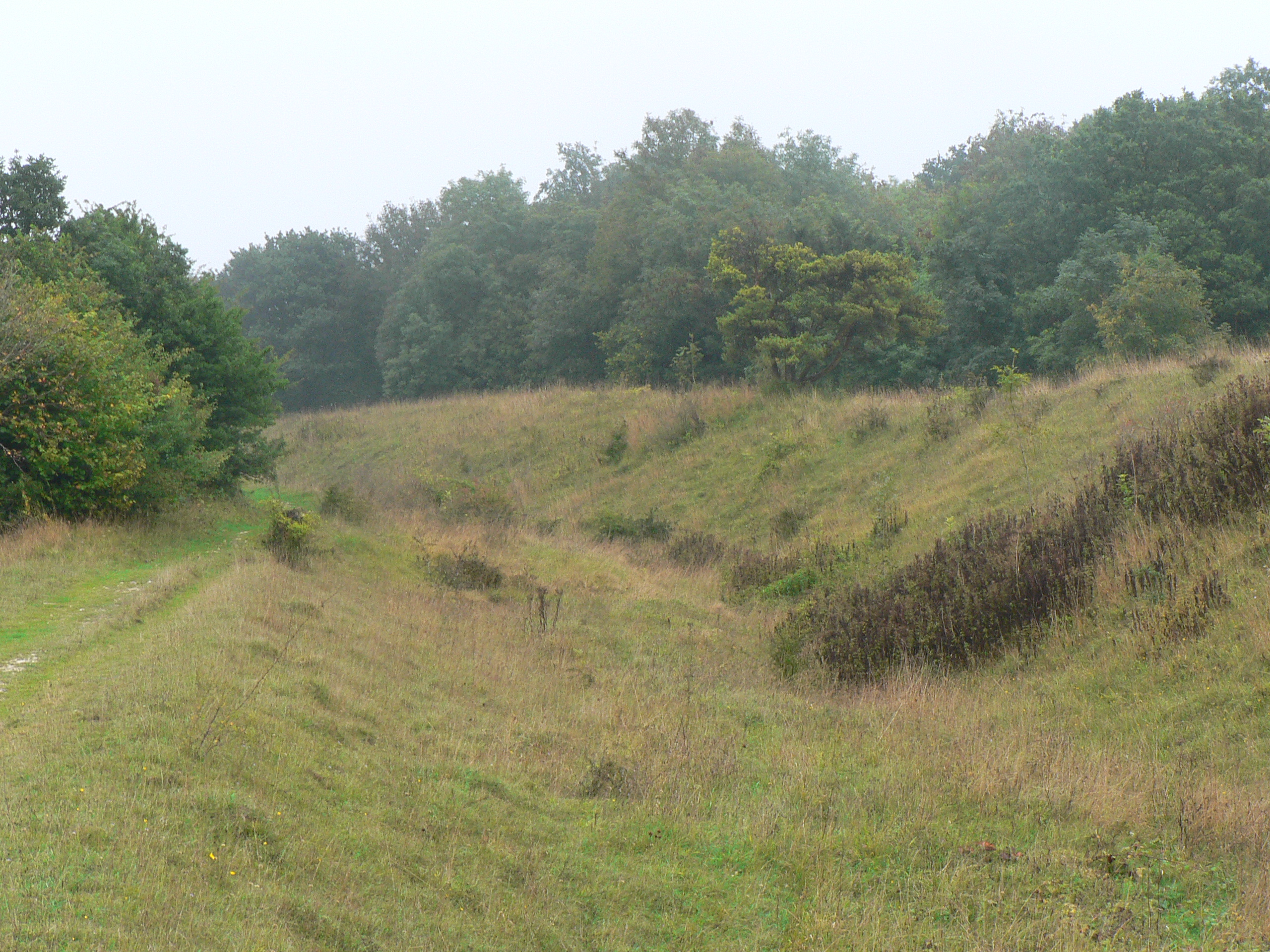
There are hundreds of miles of Bronze Age dykes in Britain, although not many of them are as impressive as the deep ditch and high rampart of Bokerley Dyke - a feature which has been shown to predate the Roman occupation. Not much is known of their use as prehistoric borders except that the smaller dykes are believed to be property, rather than territorial, boundaries. Bokerley Dyke’s survival since the Bronze Age is the outcome of its continual use for thousands of years; its upkeep, modification, reiteration and reinvention are all factors in its continued existence in the 21st century and you don’t have to look far to see what an achievement that is.
Looking south from the crown of the dyke, the landscape of East Dorset re-asserts the consensus view of post-war countryside; the familiar layout of arable and dairy, of copses that cling to the hillside and of lone trees apparently stranded at the centre of fields. Tramlines of tractor tracks skirt around each oak or ash like decorative ripples around an island map. In a large field, a solitary tree is often all that is left of a grubbed-up hedge, but here there is a line of them, cast adrift from the field’s edge on a long green island that joins together a pair of Neolithic long barrows.
The barrows are at the northern end of what may turn out to be an even older boundary than Bokerley Dyke. The Dorset Cursus is an enclosed linear earthwork up to 100 metres wide that runs for ten kilometres to the south west – by far the largest of at least 150 similar ancient monuments all over Britain. Nobody knows what purposes they served. Even the most popular theory, that they were processional walkways, doesn’t ring true because their design often included obstacles like boggy valleys and rivers and would make for the most ungraceful procession imaginable.
The location of a cursus often displays a preoccupation with the landscape itself, particularly rivers, but also on the transition from one kind of geology to another. There is some suggestion that they may also be figurative boundaries – perhaps an enclosed limbo between ‘wild’ and ‘domesticated’ land, or as at the Stonehenge cursus, between the landscape of the dead and that of the living. The Dorset Cursus crosses land between tributaries of the Hampshire Avon and those of the Stour, running roughly along the natural spring line.
As far as archeology has been able to tell, the Neolithic in Britain marked the dawn of a spirituality rooted in the relationship between the sky and the land, a practical theology that successfully linked astronomical events to agricultural practise. Our first artificial boundaries may have sought to mark out different kinds of land according to those beliefs, but by the Bronze Age, these sacred lines were dismissed in favour of more earthly divisions.
blog comments powered by Disqus